
Hiking Trails
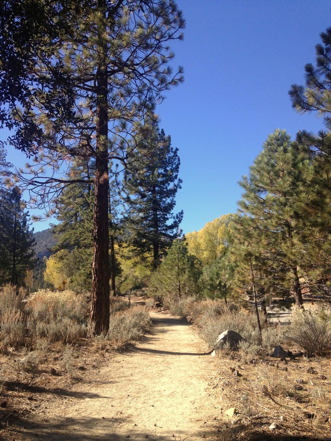
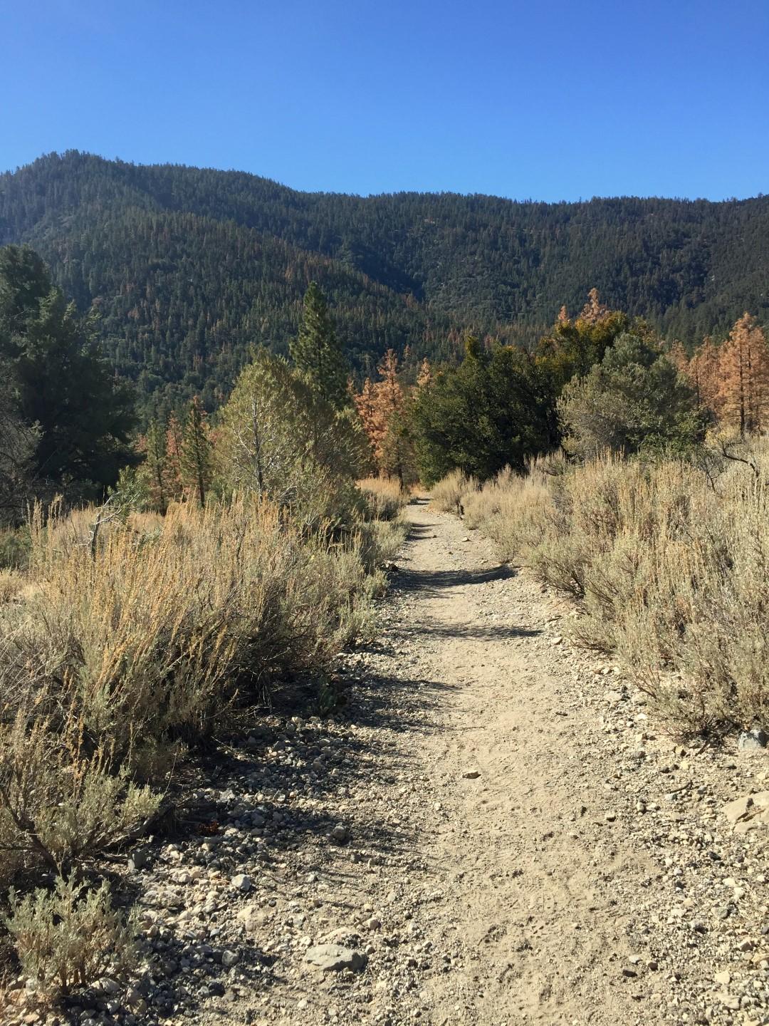
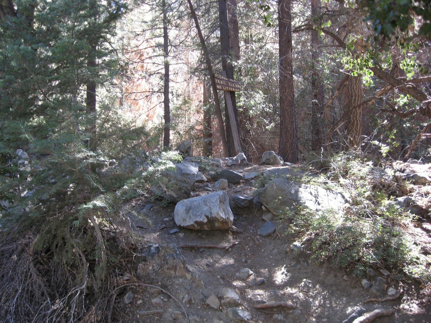
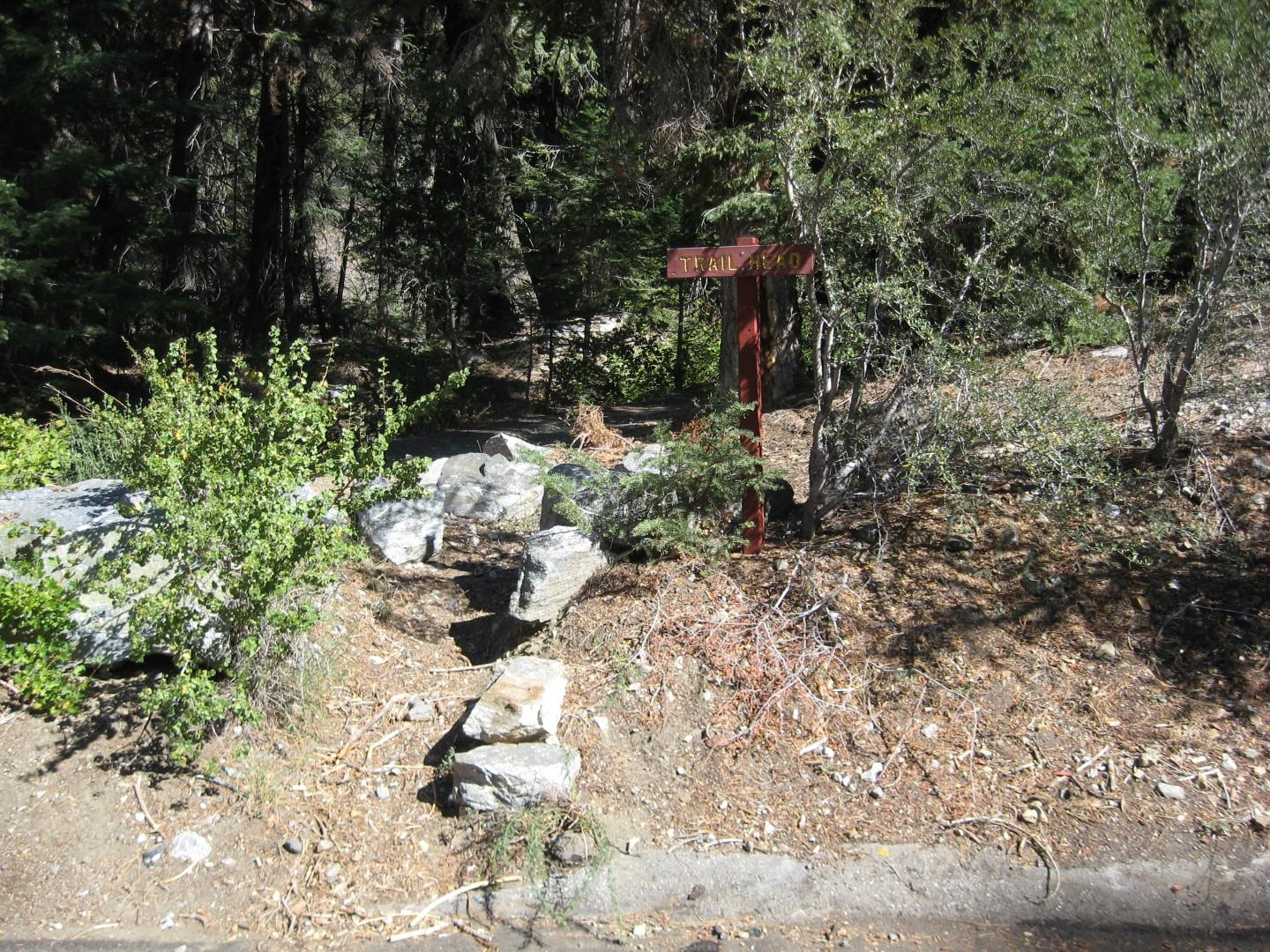
Pine Mountain Club offers some great hiking. Some trails are easy; others are not. In any case, the thin air at 5,500+ feet will make any exercise in this area a challenge. Be sure to take water and to notify someone of your plans before you leave. To view a map of the local trails, please click here.
The Woodland Waterfall
The shortest of the trails in Pine Mountain Club is also the most strenuous and it is not suitable for small children. Though it is only 3/4 of a mile long, this trail winds over rock slides and up a stream bed to a beautiful pair of small waterfalls. It is stunning in the spring and early summer when the runoff is the heaviest.
Drive to the top of Woodland Drive and park in the cul-de-sac. A sign marks the entrance to the trail. Follow the path along the stream as it winds through the canyon. Please do not trespass on the lot next to the trail. As you near the base of the waterfall, the trail turns into the rocks that have fallen in the stream bed.
After reaching the lower falls, think twice before climbing to the upper section. The climb up is very difficult and the climb down is even harder. The rocks are very slippery. If you do reach the top of the falls, continuing up the mountain is very difficult and not recommended.
San Emigdio Canyon
The oldest inland highway in California is on Pine Mountain Club property. Spanish missionaries found gold in San Emigdio Canyon and later, US soldiers made their way to Fort Tejon along this path. Watch for smelter pits and the old mine shaft near the rusty sign post. Near the end of the trails stands an enormous “witness” tree (a surveyor burned directions on the trunk). The trail ends at the gate to a private ranch further down the canyon.
To get to this trail, drive east on Mil Potrero and turn left on Nesthorn Way. Follow the paved road and park at the cable. Hike along this road approximately 3/4 of a mile. Cross the stream and follow the road for another 1/4 mile. At this point, the hard road turns right and a wagon trail veers down the canyon to the left. Follow the wagon road. The trail crosses the juncture of two creeks and follows along the floor of this historic canyon for approximately 2 1/2 miles.
Silverville Mine
This mine is apparently still worked by the claim holder; so please do not trespass. It’s a long hike, but one that is worth the effort.
Drive east on Mil Potrero Highway to the parking area on the right just before passing the Whitener Tree. To get to the base of the tree, you go down a fairly steep embankment. From there follow a dirt road down around a marshy field. On the far side of the bog, a wagon road veers off to the right.
Follow the trail and stream approximately 3 miles through the canyon. The mine is near the end of the trail. Several old cables are strung between the trees. They kept travelers out of the canyon during winter months.
Eagle Pass Ridge
This is an easy trail that only takes about 45 minutes and you can have the thrill of walking on a scarf joint of the San Andreas Fault. From the Clubhouse, go west to Arctic Drive. Follow Arctic straight up to the campground and park your car. On foot, go to the extreme west end of the camp and follow the trail. You will soon be walking on the scarf from the San Andreas Fault.
Follow the trail for 3/4 miles until you come to a narrow ravine. Turn left and go downhill for 60 yards, where you can make a sharp left turn and start on the return trail. The return trail crosses meadows and passes deep through the Pinon Pine forest. As you get closer to PMC, be sure to stay to the uphill side of the mobile homes.
There are other trails that connect from this trail should you wish to extend your hike. At the ravine, you can also turn right, or keep going straight heading west. Both trails eventually dead end, where you can turn around and come back the way you came.
The Enchanted Forest
This short hike is very pretty any time of year, but it is particularly delightful in early spring when there is still a little snow in the white firs and Jeffrey pines. Many deformed trees can be seen along this winding path, and the lively stream adds to the music of the forest.
From either Woodland Drive or Freeman Drive, take Bernina Drive to the very top and park in the cul-de-sac. Follow the trail along the creek. Eventually, the trail crosses the creek under a very large, strangely shaped pine tree. The trail peters out after 1/2 mile or so and you will want to turn back, but the view up the side of Mt. Pinos is lovely and the natural beauty of the area makes the return hike worthwhile.
Sawmill Mountain
This hike can be easy or difficult, depending on how far you go. Lots of large pines provide a lovely setting for a picnic or just a quiet walk. You can go quite far up this trail until the steepness gets to be too much or until the vehicle trail fades into the trees. You can also detour off one of the trails that connect from this one. Detour on a trail to the right, and you wind up in Mil Potrero Park. Detour to the left, and you wind up heading back toward PMC.
Go west on Mil Potrero Highway, just about 1/4 mile past the sign marking the end of Pine Mountain Club. Just before the wire fence begins on the left side of the road, a trail enters a large meadow and quickly merges with an old, unused vehicle trail. Follow the two ruts up into the forest. The best way out is the way you went in.
Walk Below the Lake
Drive Mil Potrero Hwy to Woodland Dr. turn north to Edgewood Way take the driveway between 16013 & 16021 Edgewood to the parking lot for the Lake. Go past the gate, cross the stream and walk past a cleared lot to where a road goes right, east, hugging the slope. Walk on a road along wetlands, about a mile round trip. Go straight down the flat road with two noticeable descents, open woods on your left and houses are in view. The walk is particularly good for children. When the road takes a sharp turn to the left you can return immediately the way you came or extend the walk to 2 ½ mile round trip. Just a little way up the road after the left turn, the trail heads along the hill in the same direction as the road, eastward. Once found, it is clear. It goes through woods and then marsh, later coming to a long straight descent past some houses, leading finally into woods again near where the San Emigdio Canyon Trail begins, with a gate. Return the way you came. Except for going back up the last decline, the trail is not strenuous. The round trip might take an hour and a half. The walk can easily be reversed, driving to the end of Nesthorn Way to start.
Walk on San Emigdio Mountain
San Emigdio Mountain forms the entire northern edge of our basin, from Apache Saddle in the west to San Emigdio Canyon in the East. The southern slope, the one facing us, is dry and covered with Pinyon and scrub. Higher up though, is a varied forest full of Jeffrey pine, White Fir, and Live Oak as well. Wildflowers different from those here in the valley flourish near the top in late spring and well into summer. A fairly flat ridge goes along the top of the mountain from west to east, with steeper ascents at each end. The usual access to the top is by a graded vehicle road, maintained by the forest service, starting from near Apache Saddle and reaching beyond the old limestone quarry which still stands out to viewers from below like a white scar in the middle of the upper ridge. During much of the year you can drive a car all the way up to the quarry, but if you don’t walk on foot all the way up and back at least once, you are missing out.
This is a true hike, not just a walk. The route up to the quarry and back is about 4.8 miles (round trip) and usually takes three to four hours, though fast walkers do it in less. The walking is excellent, with many spectacular views, but there are a few steep climbs and even the gentle grades up on the ridge may begin to wear on you after a while. Be sure to take water and you might want to bring along a snack too.
A few hundred yards west of Apache Saddle, past the intersection with the road going to Cerro Noroeste, you will find a wide dirt road on the right (North Side) of Mil Potrero Hwy. A gate stands within a few feet of the highway; if it is closed you can park at the side of the dirt road in front of it. If it is open, there are wide places to park a bit farther up. As the road turns to the east and begins to rise sharply, you see a second gate. Pedestrians can easily get past both gates when closed.
From here on, you really need no guide, nothing could be clearer than the road. You will have repeated, constantly changing, wonderful views all the way up, out to the west, back into our valley and finally out to the San Joaquin Valley and out past there to the Sierra Nevada. Through a twisting climb the vegetation doesn’t change much; then you begin going up the west side of a ravine, you will find larger and more varied trees. Over a mile in, you come to a stand of white firs. In the midst of it, a little road branches off to the left, be sure not to take that one. At this point one has the feeling of having reached the top of the mountain, or at least a plateau. In fact, the road continues to ascend, but if you have made it this far, the rest is easy. The northern rim of the ridge plateau, looking towards the San Joaquin Valley, is a bit farther from you than the southern rim. The best place to get a northern view is at around a mile and nine tenths in, where there is a substantial meadow to the left and the north rim is not very far from the road.
At around 2.4 miles in, you come to an intersection, with a road almost as wide and flat as the main road going off at the right angles. Taking the road, in a few feet you reach a lookout spot over the old quarry, the Pine Mountain community below, the whole Mt. Pinos range opposite, and even much of the Cuyama Valley off to the Southwest. Return the way you came. Another possibility is to drive to the quarry and walk back west as far as the stand of firs, then return, you can also explore a litle ways on the main ridge road going pass the quarry to the east, although it runs out after awhile.
To view information about the local snow play and cross-country skiing areas, please click here.